de la Juventud Catlica Italiana y de la regin de
Abruzzo Fiesta:
27 de febrero
Santuario
-Regin Abruzzo, Italia
El
1 El primero de marzo de 1838 naci en el pueblecito de Ass (Italia) un nio llamado
Francisco que, como el famoso fundador de los franciscanos, lleg a ser
santo. Era el undcimo
de trece hermanos y qued hurfano de madre a los cuatro aos.
Francisco
(que tom mas tarde como nombre religioso Gabriel de la Dolorosa) tena un
“temperamento suave, jovial, insinuante, decidido y generoso, posea
tambin un corazn sensible y lleno de afectividad. .. Era de palabra fcil
apropiada, inteligente, amena y llena de una gracia que sorprenda…”
(Fuentes, p. 24s).
De estatura ms bien alta (meda 1,70
metros), tena “buena voz, era gil y bien formado” (ib.).
Con su familia se
traslad a Spoleto donde, como el otro Francisco, era un lder de los
jvenes. All fue a la escuela de los hermanos de las Escuelas Cristianas, y al liceo
clsico con los jesuitas. Le agradaba mucho el canto, y consigui premios en
poesa latina y en las veladas teatrales. Era un joven dinmico, con
una gran pasin por su fe cristiana. En su habitacin haba colocado una
escultura de la Piedad para su veneracin ntima .
Cuando
iba al teatro Meliso con su padre, muchas veces sala a escondidas para ir a
rezar bajo el prtico de la catedral, que estaba muy cerca; despus
regresaba antes de que concluyera la funcin para salir con los dems
espectadores. Algunas veces usaba cilicio y se sabe que en una ocasin rechaz
las proposiciones deshonestas de un libertino, amenazndole con una
navaja.
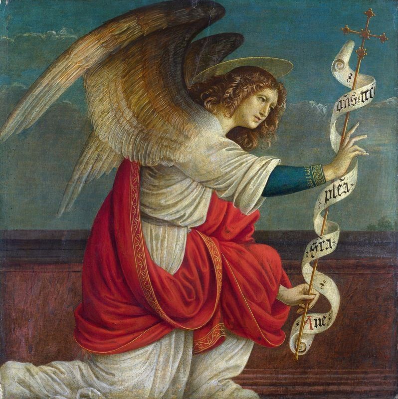
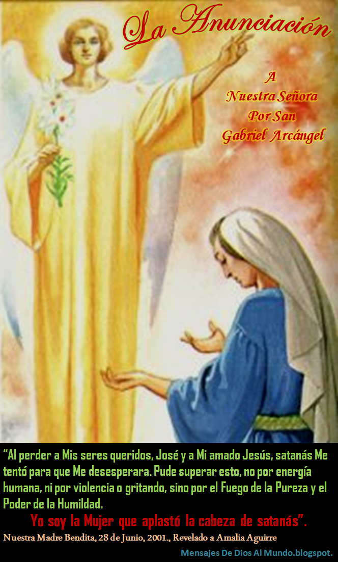
Interviene la Virgen Mara El 22 de agosto de 1856 estaba asistiendo a la
procesin de la “Santa Icone”, una imagen mariana venerada en
Spoleto, cuando la Virgen Mara le habl al corazn para invitarle con
apremio: “T no ests llamado a seguir en el mundo. Qu haces, pues,
en l? Entra en la vida religiosa” (Fuentes, p. 208). El 10 de
septiembre de 1856 entr en el noviciado pasionista de Morrovalle (Macerata)
y tom el nombre religioso de Gabriel. Tena solo 18 aos.
Su entrega fue con todo su corazn y
en la vida religiosa encontr su felicidad: “La alegra y el gozo que
disfruto dentro de estas paredes son indecibles” (Escritos, p. 185). Sus
mayores amores eran Jess Crucificado, la Eucarista y la Virgen
Mara.
Muerte En el convento de Isola, cuando los primeros
rayos del sol entraban por la ventana de su
celda en la maana del 27 de febrero de 1862, Gabriel, sumido en xtasis de
amor y rodeado por los religiosos que lloraban junto a su lecho, abandon la
tierra y fue al cielo, invitado por la Virgen Mara.
Treinta aos
ms tarde, El 17 de octubre de 1892, se iniciaron lo trmites para
inscribirlo entre los santos ya que la devocin de los fieles y los milagros
que realizaba eran muchos. Fue canonizado por Benedicto XV en 1920. Declarado copatrn de la juventud catlica Italiana, 1926 Patrn principal de Abruzo en 1959.
Santa
Gemma al leer la vida de San Gabriel de la Dolorosa qued profundamente
vinculada espiritualmente con l y este se le apareci en muchas ocasiones
para guiarla y consolarla.
Santuario de San Gabriel en Italia: Como llegar: Desde Roma:
Autostrada A/24 direccin Teramo, salida “S. Gabriele”, a 3 km est
el Santuario.
Regreso a la pgina principal www.corazones.org
Esta pgina es obra de Las Siervas de
los Corazones Traspasados de Jess y Mara. Copyright 1999 SCTJM
San Gabriel Arcángel – California Missions Foundation
Mission San Gabriel Arcángel. Courtesy of Santa Barbara Mission Archive-Library.
History of Mission San Gabriel Arcángel
Mission San Gabriel was founded fourth in the chain on September 8, 1771, by Father Serra, near what would become the sprawling metropolis of Los Angeles. Named for the Arcángel Gabriel, the mission stands as a reminder of how earthquakes can affect the California missions. A powerful tremor in 1987 prompted a major restoration effort to reinforce the entire mission church. Earthquakes in 1804 and 1812 also damaged the mission complex.
Mission San Gabriel sits in the foothills just east of downtown Los Angeles. It served as a trade center, positioned at the crossroads of three important trails. Like its three predecessors, Mission San Gabriel was forced to move from its original site. In 1775, the mission was moved three miles to its present location, to improve conditions for planting and cultivating the fields. Mission San Gabriel grew to be the “Pride of the Missions”. Far more productive than any other missions in California, San Gabriel provided many of the other missions with the necessities of life from its land. Mission San Gabriel is credited with introducing large scale viticulture to California.
Architecturally, San Gabriel is distinct among the California missions. Father Antonio Cruzado, the designer, was born in Cordova, Spain. His Moorish style is unique, and draws directly from the famous cathedral of Cordova, where the side walls feature capped buttresses. Cruzado and his associates finished construction of the church in 1805, using adobe brick and a tiled roof like that of Mission San Antonio. At its peak, the mission reached nearly 300 feet in length.
The cemetery at San Gabriel is the oldest in Los Angeles County. The walls were rebuilt in 1940 using the original foundations, and this crucifix is a memorial to the 6,000 Indians buried here. An active Roman Catholic Church, weddings and other religious services continue to take place at Mission San Gabriel, as they did in the early days of California history.
Founded on 9/8/1771, near later pueblos of Los Angeles
Named after archangel Gabriel
Major earthquake in 1987 prompted major effort to reinforce the church
Other previous earthquakes in 1804 and 1812
Location 20 minutes from downtown LA
Cross point for three important traveling trails
Designed by Father Antonio Cruzado, born in Cordoba
Style can be traced directly to the Cordoba cathedral
Side walls feature capped buttresses
Current church built in 1812
At its peak, the mission was 300 feet in length
Moved three miles from original location
Oldest cemetery in LA
6,000 Indians buried there
In Mission days, one of Alta California’s leading producers of wine grapes
San Gabriel | this.
.. What is South San Gabriel?
South San Gabriel (eng. South San Gabriel ) is a statistically distinct area located in Los Angeles County (California, USA) with a population of 7595 people according to 2000 census statistics.
Geography
According to the US Census Bureau, the statistically isolated area of South San Gabriel has a total area of 2.07 square kilometers, there are no water resources within the boundaries of the settlement.
The South San Gabriel Statistically Separated Area is located at an altitude of 83 meters above sea level.
Demographics
Census
Census year
Us.
% ±
1970
5051
–
1980
5421
7.3%
1990
7700
42%
2000
7595
-1. 4%
1970-ND source: [1]
As of 2000 Census [2] South San Gabriel had a population of 7595 people, 1727 families, 2091 households and 2166 residences. The average population density was about 3516.0 people per square kilometer. Racial Composition South San Gabriel Census breakdown was: 11.72% White, 0.39% Black or African American, 1.17% Native American, 33.34% Asian, 0.20% Native American from the Pacific Islands, 4.24% – representatives of mixed races, 19.93% – other nationalities. Hispanic speakers made up from all residents of the statistically isolated area.
Of 2,091 households, 37.6% were raising children under the age of 18, 57.6% were married couples living together, 17.7% had a female householder with no husband present, and 17.4% were non-families. 13.7% of the total number of families at the time of the census lived independently, while 6.5% were single elderly people aged 65 and over. The average household size was 3.52 people and the average family size was 3.85 people.
The population of the statistically isolated area according to the age range according to the 2000 census was distributed as follows: 25.0% – residents under 18 years old, 9.0% – between 18 and 24 years old, 29.0% – from 25 to 44 years old, 22.9% are 45 to 64 years old and 14.1% are 65 years of age or older. The average age of residents was 36 years. For every 100 women in 90,005 South San Gabriel 90,006, there were 95.5 men, while for every 100 women 18 and over, there were 93.5 men also over 18.
The median income per household in the statistically separated area was $51,136 and the median income per household was $50,451. At the same time, men had an average income of $35,598 per year compared to $30,091 of the average annual income for women. The per capita income for the statistically isolated area was $16,345 per year. 8.2% of all households in the county and 11.0% of the total population were below the poverty line at the time of the census, with 11. 6% of them under age 18 and 14.4% under age 65 and older.
Notes
↑ CENSUS OF POPULATION AND HOUSING (1790-2000). U.S. census bureau. Archived from the original on 25 March 2012. Retrieved 17 July 2010.
↑ US Census Bureau
website
San Gabriel Dam – frwiki.wiki
Federalism Mexicano Dam (official name), better known as San Gabriel Dam, Dam is located in the municipality of Ocampo in the northern state of Durango in northwestern Mexico on the Rio Florido rivers.
See also
Durango
Notes and links
↑ “ GEOLOCALIZADOR DE PRESAS EN MÉXICO “, on siga.conagua.gob.mx (accessed March 27, 2016)
↑ Commission Nacional del Agua (2008).
Dams in Mexico
Pacific watershed
Rivers
Rio Ameca
La Vega
Rio Balsas
El Caracol (a)
Infernillo
La Villita (a)
Valle de Bravo (a)
Rio Fuerte (ru)
El Mahone (a)
Huites (a)
Rio Santiago
Aguamilpa (ru)
El Cajon (ru)
Eska
Santa Rosa (a)
Rio Sinaloa
Bakurato (a)
Rio Yaqui
Ovjacic (a)
El Novillo (a)
Rivers
Rio Bavispe (ru)
La Angostura (Sonora) (a)
Rio Humaya
Humaya (a)
Rio Lerma
Solis (a)
Rio Mayo
Mokuzari (a)
Rio Necaxa (a)
Necaxa(s)
Rio Sabinas (a)
Don Martin (a)
Rio Salado (a)
Don Martin (a)
Rio San Juan (a)
El Cuchillo (a)
El Azucar (a)
Rio San Lorenzo
El Comedero (a)
Rio Tamazula
Sanalona (a)
Rio Tehuantepec (a)
El Marques (a)
Gulf of Mexico watershed
Rivers
Rio Grande ( Rio Bravo del Norte )
Dams
Falcon (ru)
Derivatives
American
Amistad (ru)
International
Riverside (ru)
Grijalva
La Angostura (Chiapas)
Chicoasen
Malpaso
Penitas
Rio Tonto (a)
Temascal (a)
Rivers
Rio Chikayan
Chicago
Rio Conchos
La Boquilla
El Granero (a)
Rio Florida
Pico del Aguila
San Gabriel
Moctezuma
Zimapan
Rio Santa Maria (a)
El Realito (a)
endorheic pools
Rivers
Rio Nazas
Lazaro Cardenas
Francisco Zarco
Unknown situation
Rio Alamos
El Sabino
Rio Aulco
La Soledad (a)
Rio Cuaticlan
Guadalupe
La Soceda
Peña del Aguila
Las Tinajas
Santiago Bayacora
Rio Tunal
President Guadalupe Victoria
Rivers Mexico
inf. at a distance of 5000 km
Rio Grande ( Rio Bravo del Norte )
inf. for 3000 km
Lerma Yaki
inf. At a distance of 1000 km
Aguanaval Balsas Conchos Grijalva Greater Santiago Nazas Panuco Papaloapan Usumacinta
inf. At a distance of 500 km
Sinaloa
inf. At a distance of 300 km
Ameca Baluarte Florida Hondo Nuevo Santa Cruz River Verde
 In 1775, the mission was moved three miles to its present location, to improve conditions for planting and cultivating the fields. Mission San Gabriel grew to be the “Pride of the Missions”. Far more productive than any other missions in California, San Gabriel provided many of the other missions with the necessities of life from its land. Mission San Gabriel is credited with introducing large scale viticulture to California.
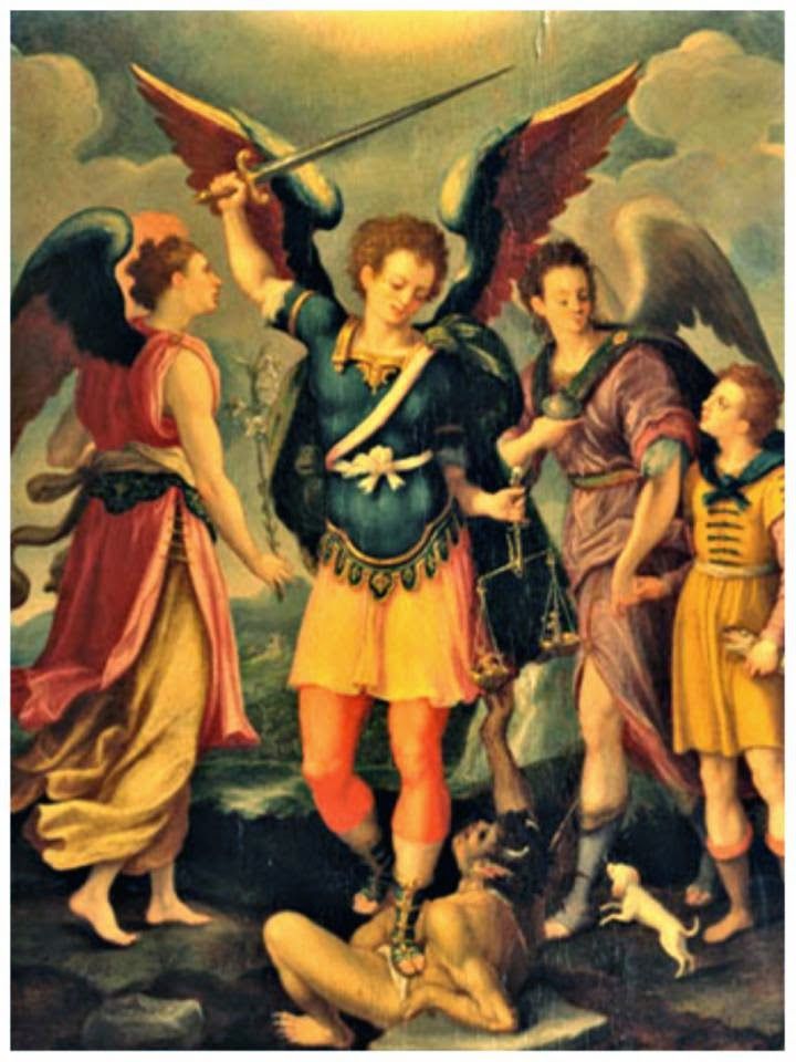 An active Roman Catholic Church, weddings and other religious services continue to take place at Mission San Gabriel, as they did in the early days of California history.
 .. What is South San Gabriel?
 4%
4%  The average household size was 3.52 people and the average family size was 3.85 people.
 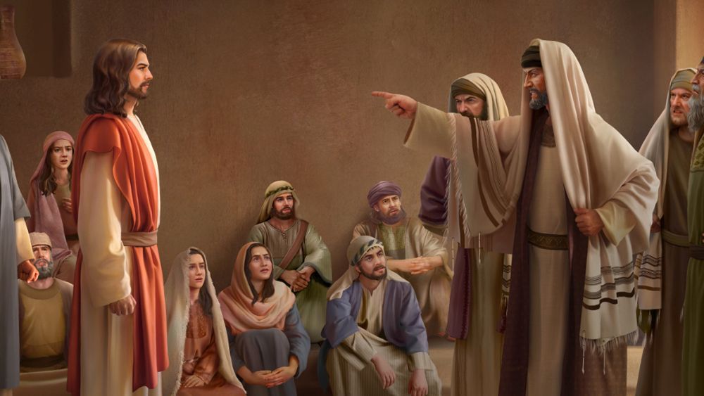 6% of them under age 18 and 14.4% under age 65 and older.
  at a distance of 5000 km